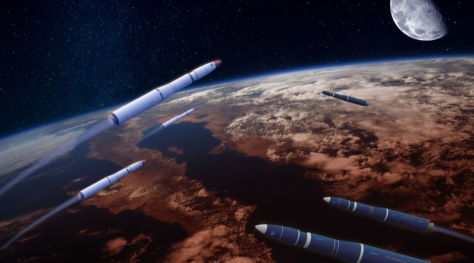
Australia is the latest to join the US-led initiative, pledging not to conduct Direct-Ascent Anti-Satellite (ASAT) missile testing.
The initiative was launched by the Biden administration on April 18th, naming the US as the first space-faring nation to ban ASAT weapons testing.
The country has pledged “not to conduct destructive, direct-ascent [ASAT] missile testing, and that [it] seeks to establish this as a new international norm for responsible behavior in space.”
In the plight to promote the safe and peaceful use of space, Australia’s support follows that of the UK, Germany, New Zealand, Canada, Japan and South Korea. More are expected to join the alliance as the US continues to rally support of the ban.
“The global community must work together to build a common understanding on rules and norms that can guide how states behave in outer space,” Australia’s minister for foreign affairs Penny Wong commented in a statement. “This commitment to responsible behaviour, helps build a meaningful framework that contributes to the security, safety and sustainability of outer space.”
Wong later commented in a joint statement with the country’s deputy prime minister Richard Marles and industry and science minister Ed Husic that “the use of these missiles to destroy space objects is reckless, irresponsible and poses threats to space assets of all nations.” They’re calling on “all nations” to join the initiative as a “transparency and confidence-building measure.”
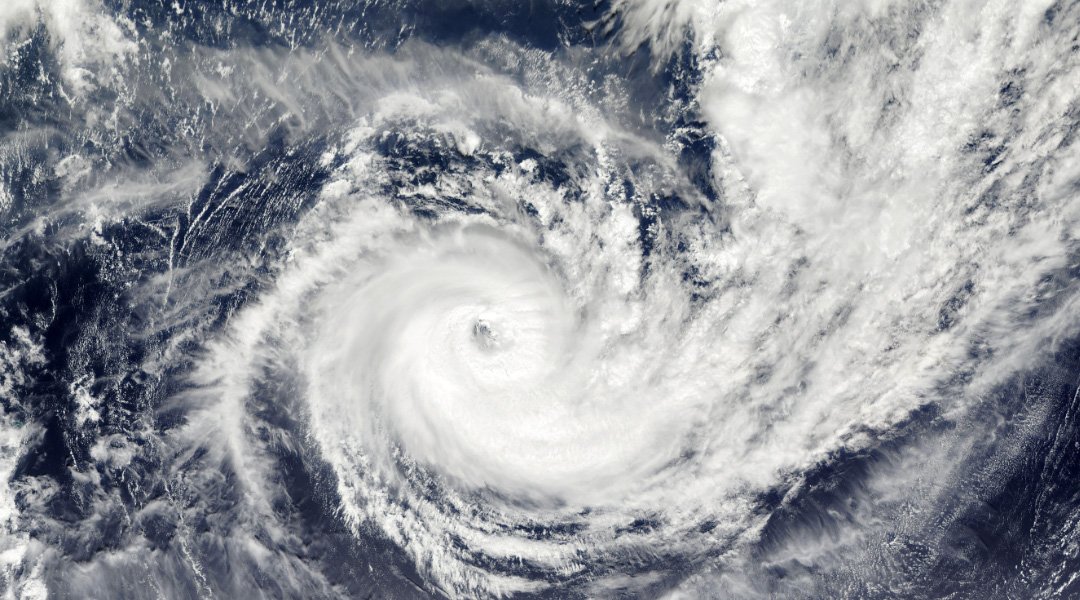
The programme’s launch followed the firing of a Russian PL19 Nudol interceptor missile in November 2021. It destroyed the defunct 2000kg Soviet-era COSMOS 1408 satellite, creating 1,500 pieces of space debris. The space junk made headlines earlier this year when it nearly collided with a Starlink satellite. It has already caused significant damage to the International Space Station and other vital satellites in the past. This debris remains in orbit, threatening both human spaceflight and robotics missions, as well as our GPS, weather forecasting and telecommunications systems.
One day before the initiative was announced, Russian diplomat Konstantain Vorontsov called the West’s commercial satellite use, “an extremely dangerous trend that … has become apparent during the latest developments in Ukraine.” He later noted previous UN meeting declarations that Russia could target private space networks that aid military operations against them. This raised further concern around ASAT testing, as these missiles are designed to destroy an opposition’s vital satellites in war or crisis situations.
The space sector is growing rapidly. With launch activity skyrocketing alongside increased accessibility, now is the time for new and more sustainable ways of thinking. This pledged commitment to stability and peace marks another huge stride towards the fair and safe use of outer space.