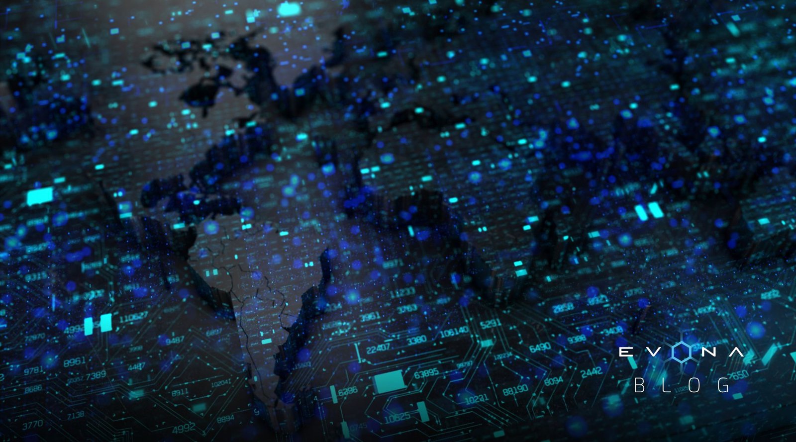
The geospatial sector is booming as an ever-increasing number of organizations focus on harnessing the power of geospatial data.
This rapidly expanding industry plays an integral role in today’s data-driven world, where businesses and governments alike are using location-based data to drive progress and solve problems. From mapping and surveying to satellite imagery and remote sensing, the geospatial industry is a hub of innovation, set to become even more influential in the years ahead.

Between 2000 and 2010, 57 geospatial organizations were established. This figure soared to 197 from 2010 to 2020. Looking forward to 2024, the number of geospatial organizations founded is set to skyrocket.
The continued expansion of the geospatial sector isn’t just good news for the space industry, but for the world. By providing new ways to collect and analyze data, geospatial tools are helping to address environmental issues and drive efficiency in a wide range of industries. As these innovative technologies continue to evolve, the geospatial sector is set to play a vital role in shaping our understanding of the world around us.
Some of the many benefits of geospatial data include:
- Improved decision-making: Geospatial data can provide valuable insights to help inform decisions in a variety of industries, such as urban planning, emergency management, agriculture, and logistics.
- Increased efficiency: By using geospatial technologies, organizations can optimize their operations, reduce costs, and improve service delivery.
- Better resource management: Geospatial data can help organizations manage their resources more effectively, whether it’s monitoring water levels, tracking wildlife populations, or mapping natural resource reserves.
- Enhanced public safety: Geospatial technologies can be used to identify areas prone to natural disasters, assess risk, and develop emergency response plans.
- Improved environmental management: Geospatial data can aid in environmental monitoring, mapping, and analysis, providing critical information for conservation efforts and sustainable development.
The Use of Geospatial Data in Agritech
 The growth of the geospatial sector also comes hand in hand with that of agritech. Agritech refers to the application of technology to agricultural processes such as planting, harvesting, and crop modification. It can involve using data, AI and robots, among other agritech technologies, to address pressing issues in the agricultural industry.
Agritech enhances every step of the farming and growing process, massively increasing agricultural yield, productivity and efficiency. In particular, satellite data has transformed agriculture by enabling farmers to optimize crop yields, make informed decisions on when and what to plant, and practice sustainable farming. It’s also used for efficient water management, crop fertilization, animal tracking, and controlling autonomous farm equipment. Investment in agritech boomed through the pandemic, exceeding $10 billion in 2021. Watch this space – this exciting sector is set to skyrocket.
The Use of Geospatial Data in the Russia-Ukraine War
The conflict in Ukraine has underscored the crucial role of space technologies and geospatial data, as well as the importance of international cooperation and technological development in this rapidly evolving field.

Satellite images have provided key intelligence in the conflict. One prominent example occurred when a group of researchers in California were analyzing data from Google Maps. They noticed what appeared to be a traffic jam near Belgorod, a Russian town near the Ukrainian border, at 3:15am local time. Soon after, they realized that it was a unit of Russian armored vehicles mobilizing toward the Ukrainian border. This sighting happened hours before Putin announced a “special military operation” against Ukraine.
“I think we were the first people to see the invasion,” Dr. Jeffrey Lewis, an expert in open source intelligence, told Motherboard. “And we saw it in a traffic app.”
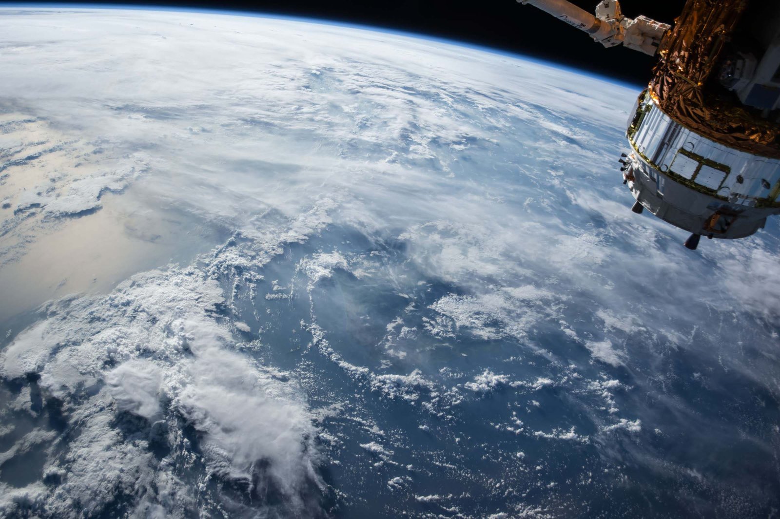
The importance of space technologies in cases like this goes beyond early detection. Earth Observation (EO) data, Global Navigation Satellite System (GNSS) signals, and satellite communications are all crucial tools that can save countless lives. They’re used to monitor troop movements, identify targets, and track the flow of resources across conflict zones. Additionally, the availability of broadband services through satellite communications allows for real-time communication and coordination across vast distances.
Geospatial Industry Map
Let’s take a deeper dive into the geospatial landscape. We’ve used our data to map the industry, giving you an insight into its incredible opportunities and the skills you need to take you there.
To date, this is a map of the global geospatial industry, highlighting which countries are joining the GEOINT revolution.

As you can see, this is a global movement. Countries all across the world are fuelling the geospatial boom, building an industry that will power a better tomorrow.
Let’s take a deeper dive into the top three locations by geospatial job opportunities.
Fastest Growing Areas by Geospatial Job Opportunities
 New York, Washington DC and Los Angeles came out on top with the most geospatial job opportunities.
At the epicentre of progress, these states have solidified themselves as leading geospatial innovators. It seems that if you’re wondering how to get into geospatial, these locations could be your way in.
A Career in Geospatial Data
As the geospatial sector continues to grow, it’s creating new career paths for people with a wide range of skills. In addition to traditional careers in surveying and cartography, there is now a demand for professionals with expertise in Geographic Information Systems (GIS), remote sensing, and data analytics. These careers offer opportunities for people with backgrounds in fields such as computer science, engineering, and environmental science to apply their skills to real-world problems.
For those seeking to transition into the geospatial industry – you will need to build specific skills to be ahead of the curve.
Let’s take a look at the five fastest growing skills in the geospatial industry.
Top 5 Fastest Growing Geospatial Skills
 These invaluable skillsets are fuelling an ever-growing list of industries, allowing skilled professionals to use their expertise for the good of humanity.
Although supply tends to outweigh demand when it comes to geospatial professionals, the continued growth of the sector is set to level these scales.
As the world becomes increasingly connected, the need for geospatial data and analysis is going to increase, creating a range of new job opportunities. The growth of the geospatial industry is expected to create a multiplier effect, generating more jobs in related fields such as software development, data analytics, and project management.
The geospatial industry is also expected to benefit from the rise of the Internet of Things (IoT). IoT is generating vast amounts of location-based data that can be used to create new services and products. Geospatial professionals who are proficient in data management, visualization, and analysis will be in high demand, as they will be needed to collect, process, and interpret this data for various applications.
The boom of the geospatial sector will be the catalyst for a long list of future world-changing organizations. If you’ve got a passion for problem solving, data analysis, environmental sustainability and technological innovation, now is the time to join the geospatial revolution.
Head to our Jobs Page to discover what jobs geospatial organizations are currently hiring for.
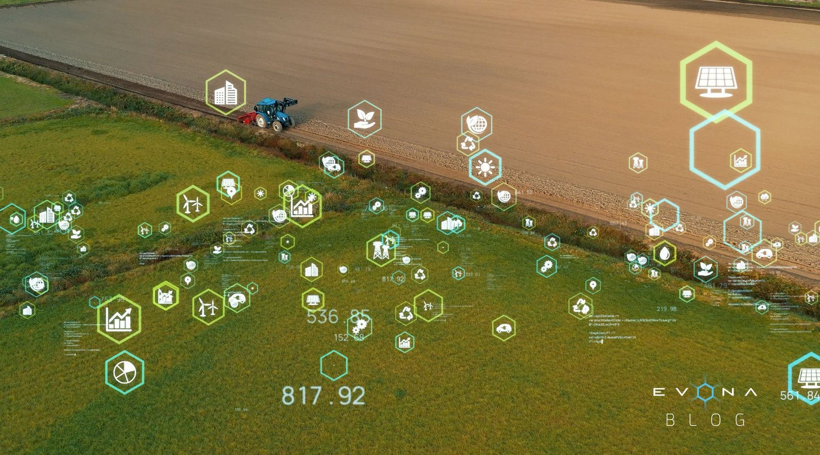
 Precision agriculture has revolutionized farming by tapping into satellite technology to perfect crop management. Farmers now have access to crisp images and real-time data, empowering them to monitor and adapt their practices as needed. Satellite-based remote sensing enables precise evaluations of soil moisture, nutrient levels, and plant health, helping farmers make informed decisions. This accuracy leads to reduced waste, increased yields, and minimized environmental impact, ensuring agriculture’s sustainable future. Furthermore, this technology democratizes access to advanced farming tools for small-scale farmers, leveling the playing field and enhancing overall productivity.
 Space-based weather monitoring has significantly refined weather forecasting, equipping farmers to better plan and react to fluctuating environmental conditions. Accurate weather predictions enable farmers to make educated decisions about planting, irrigation, and pest control, ultimately boosting crop yields and minimizing losses due to unpredictable weather events. Moreover, advanced climate models rooted in satellite data help farmers recognize trends and anticipate long-term shifts in weather patterns. This foresight allows them to adapt their strategies and create resilient agricultural systems capable of withstanding the trials of climate change.
 The space sector has made significant strides in improving livestock management and sustainabilityby integrating satellite data, remote sensing, and innovative research. Precision Livestock Farming (PLF) employs satellite technology and IoT devices to monitor animal behavior, health, and productivity in real-time. This allows farmers to remotely assess welfare, manage nutrition, and address health issues quickly. The technology bolsters livestock productivity and animal welfare while reducing antibiotic reliance, fostering responsible and sustainable farming practices. Satellite data and remote sensing also facilitate disease monitoring and early detection, enabling farmers to implement preventive measures, curtail disease outbreaks, and diminish the economic impact on the sector. High-resolution satellite imagery further aids grazing management, ensuring livestock receive proper nutrition while preventing overgrazing and land degradation. The space industry’s influence on livestock farming fuels the development of pioneering technologies and practices that champion animal welfare, economic efficiency, and environmental sustainability, bolstering a more sustainable and resilient future for agriculture.
 The International Space Station (ISS) has served as a unique laboratory for agricultural research, as it provides scientists with an unparalleled opportunity to study plant growth and soil composition in microgravity. This research has led to new discoveries in plant biology and soil chemistry, which can be applied to enhance crop production on Earth. For example, studies conducted in microgravity have revealed insights into how plants respond to stress, enabling researchers to develop crops that are more resistant to diseases and pests. As we learn more about the relationship between plants and their environment, we’ll be better equipped to develop more resilient and adaptive farming practices that maximize productivity while minimizing resource usage.
 Space research has played a crucial role in developing drought-resistant and high-yield crops. By studying plants in controlled environments, scientists can gain a better understanding of genetic traits that contribute to increased resilience. This knowledge is then used to develop new crop strains that can flourish in challenging environments, ensuring food security for growing populations worldwide. The development of these advanced crop varieties not only empowers farmers to maintain productivity in the face of water scarcity and climate change but also lessens the need for irrigation and other resource-intensive farming practices. Ultimately, this leads to a more sustainable agricultural sector.
 Satellite imagery and data analysis empower farmers to monitor and manage their resources more efficiently, leading to more sustainable farming practices. For example, satellite data can be utilized to optimize irrigation schedules, conserve water, and decrease fertilizer use. These benefits extend beyond the environment, also lowering operational costs for farmers and making sustainable farming more economically viable. Moreover, satellite-based monitoring systems help detect and prevent deforestation and land degradation, preserving valuable ecosystems and promoting responsible land management practices.
 Satellites have fundamentally changed the way we observe and analyze Earth’s ecosystems and climate patterns. High-resolution images and precise data from Earth observation satellites enable real-time monitoring of climate change indicators, including deforestation, ice-sheet melting, and ocean temperature fluctuations.
 Space-based solar power, an ambitious concept in the space industry, could potentially transform our energy landscape. By capturing sunlight in space through expansive solar panels and transmitting it to Earth’s power grids, we can access an inexhaustible, clean energy source. Operating in space, solar panels receive sunlight continuously and avoid atmospheric disturbances, increasing efficiency.
 Space technologies extend beyond monitoring and mitigation, bolstering climate adaptation initiatives as well. Utilizing satellite data, early warning systems for extreme weather events—such as hurricanes, floods, and droughts—can be developed, empowering governments and communities to prepare for and respond to these threats.
 The application of space technology to ocean conservation efforts presents exciting possibilities for preserving Earth’s vital marine ecosystems. Satellite-based remote sensing provides crucial data on sea surface temperatures, ocean currents, and phytoplankton distribution, informing climate models and marine research. These insights help scientists understand the effects of climate change on ocean life and ecosystems, such as coral reefs, and the subsequent impacts on global carbon cycles. As we uncover the secrets beneath the waves, we can harness these innovations to better understand and protect our blue planet.
 Geoengineering is an emerging field that explores the potential of large-scale interventions to mitigate climate change. Space technologies could play a vital role in these endeavors. For instance, Solar Radiation Management (SRM) techniques, such as deploying sunshades in space or launching reflective aerosols into the stratosphere, could reflect sunlight away from Earth, effectively cooling the planet. Another potential approach is Carbon Dioxide Removal (CDR), which aims to capture and store atmospheric carbon dioxide, counteracting the greenhouse effect.
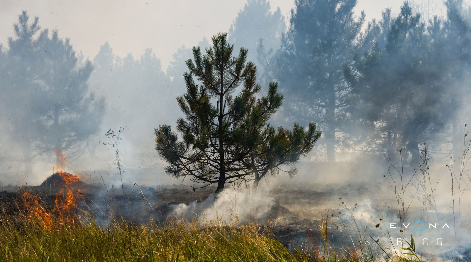
 Earth observation satellites equipped with advanced sensors are used to monitor various environmental conditions and natural disasters. These satellites provide critical data that enables faster and more accurate predictions, which are crucial for proactive disaster management. Continuous monitoring of environmental variables, such as weather patterns, helps meteorologists track extreme weather events, ensuring better preparedness for areas prone to natural disasters.
 High-resolution satellite imagery helps emergency managers assess damage, identify priority areas for response, and monitor recovery processes. Satellite imagery is also essential in creating accurate maps of disaster zones, invaluable for emergency responders navigating unfamiliar terrain. By overlaying these maps with data such as population density, infrastructure, and transportation networks, vulnerable communities can receive timely assistance.
 Satellite-based internet solutions, such as Low Earth Orbit (LEO) satellite constellations, offer fast and reliable internet access to remote areas. In the aftermath of a disaster, these systems can help restore connectivity, facilitating communication between affected communities and emergency response teams. This technology also promotes access to critical information, enabling residents to receive updates, alerts, and safety guidelines in real-time.
 The space industry has encouraged the research and development of new technologies specifically tailored to disaster relief efforts. This research includes the development of advanced remote sensing technologies, machine learning algorithms for data analysis, and drones for search and rescue operations. These innovations not only enhance the effectiveness of disaster response but also reduce the time it takes to reach affected populations.