NGA DevCorps and Army Cadets Land Navigation Mission

NGA DevCorps took a class in land navigation from Army ROTC cadets earlier this month.

The programme was created by DevCorps Branch Chief Rodney “RJ” Mosquito and conducted by Army ROTC cadets, in coordination with Missouri Army National Guard.

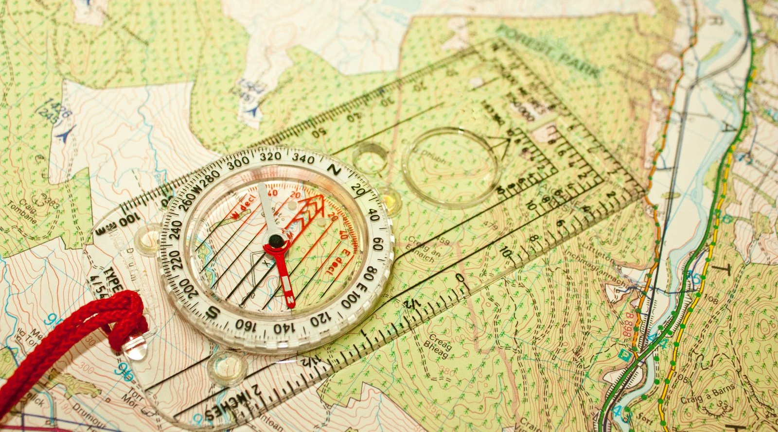
The day started in the classroom, where cadets taught DevCorps members about map reading, using land navigation tools, and pace counting by determining the average step count over 100 metres.

During the lesson, cadets explained that the true nature of land features cannot always be captured on the topographical maps used for land navigation.

Army Lt. Col. Ray Kuderka, professor of military science for the Gateway Battalion, relayed the story of a Joint Special Operations Command mission in Afghanistan. A high-stakes mission had been planned using the most cutting-edge technologies and best maps available, but had to be aborted because of a harsh landscape that hadn’t been detected.

“This story clearly illustrates why geospatial intel products from DevCorps, and NGA must be timely, relevant and accurate,” said Mosquito.

When school was out, the group piled into three Blackhawks and flew over to complete a mission in Weldon Springs, Missouri. In teams, they put what they had learned into practice as they shot azimuths to their navigation points.

Through the exercise, Mosquito said he was “trying to discover a way for software developers to gain the perspective of our Warfighters by walking a mile in their shoes.”

With his own military experience in mind, Mosquito understood the value of teaching DevCorps software developers to navigate land using a map and compass.

In summary of the day, Mosquito added, “this event continues to demonstrate how the NGA workforce can effectively [work with] local, state, and academic institutions, in order to promote teamwork and knowledge transfer in the furtherance of our geospatial mission.”

It’s so encouraging to see three letter government agencies like NGA investing in young people, the future of geospatial intelligence (GEOINT). Not only did this exercise introduce their team to a fresh perspective on land navigation, but the lesson was delivered by skilled young people. With programmes like this in place to inspire the next generation, the GEOINT sector can expand, advance and progress.

EVONA are passionate about cultivating the future of STEM industries. We were thrilled to announce Janna Chapman as the winner of the EVONA Scholarship for Diversity in STEM, in partnership with the United States Geospatial Intelligence Foundation (USGIF). Janna is a talented and driven young person who wants to use GEOINT to address pressing environmental issues. We’re happy to be supporting Janna through her master’s in geospatial science.

It’s great to see our values aligning with an increasing number of agencies like NGA. We hope to see more influential organisations following in their footsteps to ensure a vibrant future for the sector.
British Paralympian Named ESA’s First Disabled Astronaut

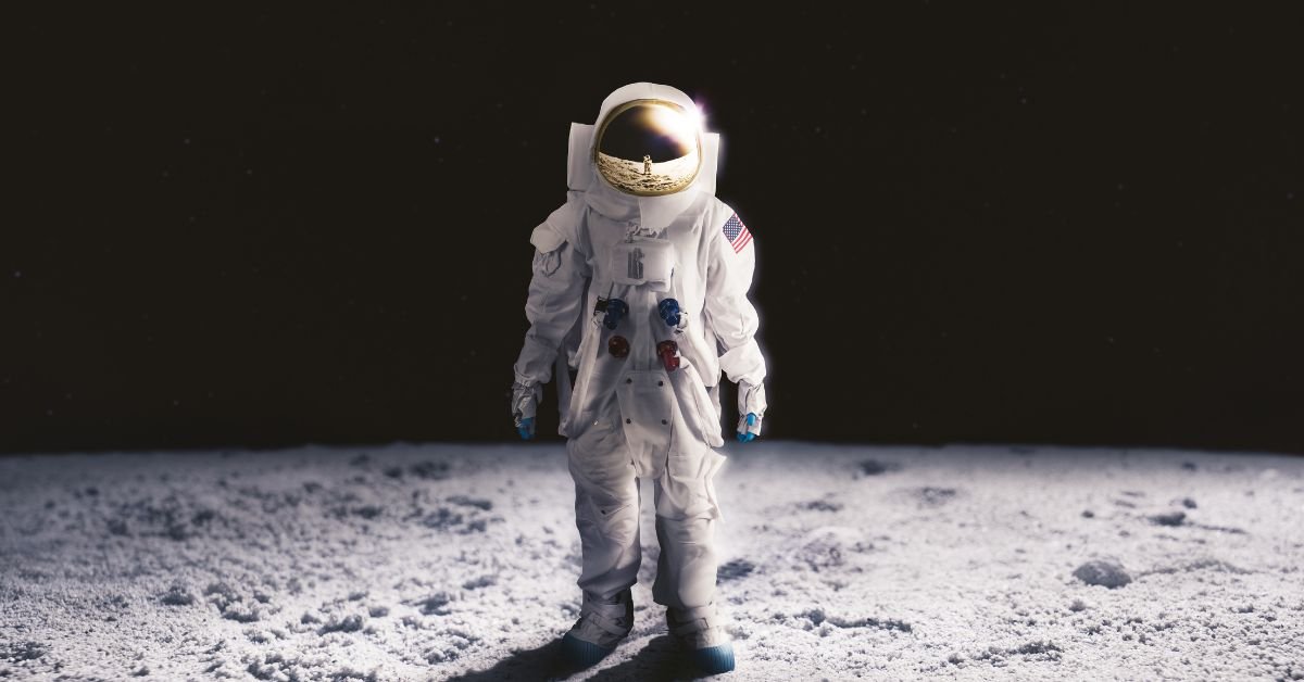
John McFall, from Frimley in Surrey, has been selected by the ESA to become the first ever disabled astronaut.  

He will be joining their space training programme, working with engineers and designers in a feasibility study to determine necessary redesigns and adaptations for the mission.

The 41-year-old lost his right leg in a motorcycle accident aged 19, but this didn’t stop him. He went on to compete for Great Britain in the Paralympic Games, and is now making history once again.  

McFall says he hopes to inspire others and highlight that “science is for everyone… and potentially space is for everyone.” 

Over 22,000 people applied to the ESA’s life-changing programme. This is 2.5 times the interest level received in their last competitive process in 2008. 

The ESA revealed its “Class of 2022” today, which includes another six full-time astronauts – among these was British astronomer Rosemary Coogan. Coogan has two master’s degrees from the University of Durham, and a doctorate in astronomy from the University of Sussex. 

UK science minister George Freeman called today a brilliant day for “British science and British values”. He added that he is proud the UK “will be the first country to put a para-astronaut in space and show that space is indeed the new frontier. […] It’s where we destroy the barriers that are holding back this planet and mankind.” 

The ESA intentionally selected candidates with physical difficulties for this project. The agency hopes this will help to build a more sustainable future for disabled people in space.  

This is an enormous milestone in the space sector’s history. While space may have once been for the few, this is becoming ever further from the truth. Concentrated efforts like these are going to blow the sector wide open for a whole new demographic of space lovers, taking them to places many thought they’d never reach.  

We’re wishing McFall and the rest of ESA’s Class of 2022 the best of luck on this adventure of a lifetime. 


Image credit: Jacklee

Humans Will Live on the Moon Within a Decade, Says NASA

In a recent program, NASA officials revealed that humans could well be living and working on the surface of the Moon within the next decade.

This revelation followed the long-awaited launch of NASA’s Artemis 1 spacecraft on Wednesday. The launch was postponed twice in September following Hurricane Ian and a liquid hydrogen leak.

Onboard Artemis was the Orion spacecraft, a key component in the mission to get astronauts back on the Moon. Orion is designed to take humans farther than ever before, serving as the exploration vehicle for deep space. The spacecraft provides emergency abort capabilities, can sustain the crew during space travel, and even provides safe re-entry from deep space return velocities.

On Monday, Orian flew 81 miles above the Moon’s surface at 5,102 mph. Experts are verifying whether the spacecraft will work as planned, allowing them to make adjustments before the Artemis II mission, scheduled to launch circa 2024. If all goes smoothly, Orion, along with a SpaceX vehicle, will land astronauts on the Moon’s surface.

“The mission continues to proceed as we had planned, and the ground systems, our operations teams, and the Orion spacecraft continue to exceed expectations, and we continue to learn along the way about this new, deep-space spacecraft,” said Mike Sarafin, Artemis I mission manager, in a briefing on Monday at Johnson Space Center.

Howard Hu, head of the Orion programme, told the BBC, “It’s the first step we’re taking to long-term deep-space exploration, for not just the United States but for the world. I think this is a historic day for NASA, but it’s also a historic day for all the people who love human space flight and deep-space exploration.”

“Certainly in this decade, we’re going to have people living [on the Moon],” Hu commented. “The durations, you know, depending on how long we’ll be on the surface. They’ll be living, they’ll have habitats and they’ll have rovers on the ground. … So, not only are we able to work in delivering people to the Moon, getting people down to the surface of the Moon, they still have to have the infrastructure.”

Hu later commented that a big reason for NASA trying to get back on the Moon is to determine whether there is water at its south pole. If present, water could be converted into fuel for spacecraft travelling to Mars.

This exciting insight into humanity’s future in space marks a huge milestone for not only the space sector, but for the entire world.

The last manned mission to the Moon was Apollo 17 in December 1972. Five decades on, we’re actually seeing the implementation of systems that will allow us to stay up there long-term. With the industry advancing so rapidly and making such huge strides, we can’t wait to see where the next decade takes us.  

Apple Launches iPhone Emergency SOS Via Satellite

Apple has launched a new space-powered emergency service for iPhone users.

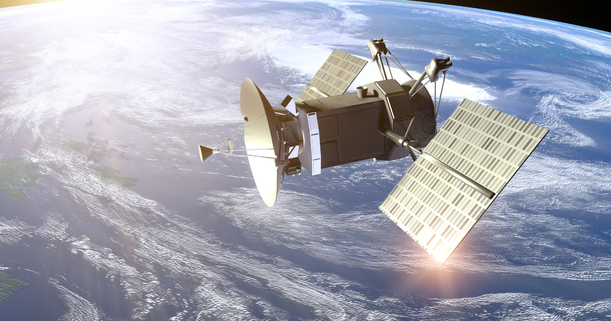
Even in remote areas without phone service, users can contact the emergency services by connecting to nearby satellites.

When an emergency call fails, users will have the option to send an ‘Emergency Text via Satellite’. Their phone will then display on-screen prompts and questions like “what’s your emergency?”, to which they can select responses such as “car or vehicle issue” or “sickness or injury”. After this will follow more in-depth questions about their situation, getting them the help they need ASAP. If you’ve set up your medical ID in your iPhone’s health settings, this information will also be available to the emergency services.

To connect to a nearby satellite, your phone will tell you to point it at the sky and guide you towards the closest satellite. You will need a clear view of the sky, free of trees and other obstructions – without this, it could take upwards of 15 seconds to a minute for the text to go through. Due to the speed at which satellites travel, you’ll need to move your phone to stay connected throughout the conversation.

If the emergency services cannot be contacted via text from a location, the message will be redirected to a relay center where Apple-trained specialists will make the call for you.

“Some of the most popular places to travel are off the beaten path and simply lack cellular coverage. With Emergency SOS via satellite, the iPhone 14 lineup provides an indispensable tool that can get users the help they need while they are off the grid,” commented Greg Joswiak, Apple’s senior vice president of worldwide marketing. “Our teams worked tirelessly to tackle a new set of technical challenges to bring this service to life, in addition to building a reliable on-the-ground infrastructure. Emergency SOS via satellite is a breakthrough service available only on the iPhone 14 lineup, and a new innovation that we hope will provide our customers some peace of mind.”

The service is already available for iPhone 14 users in the US and Canada, soon to be extended to the UK, France, Germany and Ireland in December 2022.

Apple has invested $450 million in the vital infrastructure supporting the service, available for the latest iPhone 14 model. A large portion of the funding goes to Globalstar, a Louisiana-based global satellite service.

Emergencies can happen anywhere, any time, with or without phone service. Powered by satellites networks and ground stations, this cutting-edge service is a perfect example of ways the space sector is making the world safer place. Apple’s innovative system will undoubtedly save multiple lives in the coming months and years. Will other companies follow in their footsteps to provide their own version of this service? Watch this space to find out. 

Australia Bans Anti-Satellite Weapons Tests

Australia is the latest to join the US-led initiative, pledging not to conduct Direct-Ascent Anti-Satellite (ASAT) missile testing.

The initiative was launched by the Biden administration on April 18th, naming the US as the first space-faring nation to ban ASAT weapons testing.

The country has pledged “not to conduct destructive, direct-ascent [ASAT] missile testing, and that [it] seeks to establish this as a new international norm for responsible behavior in space.”

In the plight to promote the safe and peaceful use of space, Australia’s support follows that of the UK, Germany, New Zealand, Canada, Japan and South Korea. More are expected to join the alliance as the US continues to rally support of the ban.

“The global community must work together to build a common understanding on rules and norms that can guide how states behave in outer space,” Australia’s minister for foreign affairs Penny Wong commented in a statement. “This commitment to responsible behaviour, helps build a meaningful framework that contributes to the security, safety and sustainability of outer space.”

Wong later commented in a joint statement with the country’s deputy prime minister Richard Marles and industry and science minister Ed Husic that “the use of these missiles to destroy space objects is reckless, irresponsible and poses threats to space assets of all nations.” They’re calling on “all nations” to join the initiative as a “transparency and confidence-building measure.”

The programme’s launch followed the firing of a Russian PL19 Nudol interceptor missile in November 2021. It destroyed the defunct 2000kg Soviet-era COSMOS 1408 satellite, creating 1,500 pieces of space debris. The space junk made headlines earlier this year when it nearly collided with a Starlink satellite. It has already caused significant damage to the International Space Station and other vital satellites in the past. This debris remains in orbit, threatening both human spaceflight and robotics missions, as well as our GPS, weather forecasting and telecommunications systems.

One day before the initiative was announced, Russian diplomat Konstantain Vorontsov called the West’s commercial satellite use, “an extremely dangerous trend that … has become apparent during the latest developments in Ukraine.” He later noted previous UN meeting declarations that Russia could target private space networks that aid military operations against them. This raised further concern around ASAT testing, as these missiles are designed to destroy an opposition’s vital satellites in war or crisis situations.

The space sector is growing rapidly. With launch activity skyrocketing alongside increased accessibility, now is the time for new and more sustainable ways of thinking. This pledged commitment to stability and peace marks another huge stride towards the fair and safe use of outer space.

The World’s First Kitemark for Sustainable Space Exploration

Lloyd’s has collaborated with the Lloyd’s Market Association (LMA), the UK government, and industry experts, to create this world-first kitemark to drive sustainability in space.

The kitemark is a produce and service quality trademark backed by the British Standards Institution. It is used to identify products where safety and assurance is vital, such as smoke alarms, flood defences and protective helmets. A kitemark certification means that a product or service has been tested independently and repeatedly by experts.

“The Space Sustainability Kitemark is an industry first, and will provide reassurance to both businesses and the end user that they are supporting innovation that is fit for the future,” said Lloyd’s Chief Executive Officer John Neal.

Lloyd’s has always played a crucial role in space exploration since insuring the first ever commercial satellite in 1965.

The kitemark – the Earth & Space Sustainability Initiative – focusses on the issue of space debris. The estimated 9,000 metric tons of junk in space threatens human spaceflight and robotic missions, as well as our weather forecasting, GPS and telecommunications systems.

The Earth & Space Sustainability Initiative and kitemark was first announced at the start of the United Nation’s Space Week earlier this year. The board of directors includes big names in the space and satellite sector, government, academia, and the insurance industry. Maurizio Vanotti, OneWeb Vice President of Global Markets, recently announced that he will represent OneWeb/his organisation on the board.

The UK Government has also announced a package of new measures to back the initiative. According to their website, the new measures will demonstrate the UK’s commitment, ambition and drive to improve the UK’s sustainable use of space.

“The huge increase in commercial satellite launches will see tens of thousands of small satellites launched in the next 10 years,” said Science Minister George Freeman at the Space Sustainability Summit in London. “To harness space for sustainability, we need an agreed framework of standards for measuring and managing debris, improving satellite repair and retrieval and kite-marking genuinely sustainable supply chains […] This plan will ensure a safe and sustainable commercial space sector which rewards responsible satellite programs by lowering the costs of launch licenses and insurance for sustainable satellites and space missions.”

Freeman also confirmed that the UK will conduct a regulatory review to encourage sustainable business practices, investment and growth. This will enable cutting-edge technological advancements like In-Orbit Service and Manufacturing (IOSM) and Active Debris removal (ADR), as well as sustainable development, to become the standard for future space operations.

This increase in government-backed space initiatives stand as testament to the industry’s value and growth. Backed by industry leaders and government officials, this programme marks an enormous leap towards a more sustainable space sector. With next-generation technologies and outside-the-box thinking, we can ensure that space will thrive and continue to benefit humanity into the future.

What3words – The Space-Powered App Saving Lives

Earlier this month, a 14-year-old boy saved his younger brother’s life using what3words when he suffered a life-threatening seizure.

What3words is a satellite-powered geocoding system, conveniently located in an app. By dividing the world into 57 trillion 3m x 3m squares, it allows users to communicate their exact location using a unique three-word address.

Liam, aged 10, suffered a brain injury after being diagnosed with Burkitt’s leukemia when he was five – this left him prone to potentially life-threatening seizures. When one struck on a rural road in the West Midlands and Liam’s medication failed, his brother quickly opened what3words and called 999. Thanks to his quick thinking and this piece of life-saving technology, dispatchers were on the scene within five minutes.

“We were in a very rural area, in the middle of nowhere, and we didn’t know the name of the farm or road we were on,” said the boys’ father. “The app gave the paramedics an exact location so they could reach us in just five minutes. If it wasn’t for Callum thinking to pull up the app, Liam could have lost his life.”

What3words is available in 193 countries and in more than 45 languages – it’s even been used to save a man trapped 20 metres down a vertical cave entrance. The experienced caver was in a remote part of the Yass Valley in Australia when he became stuck, but was thankfully rescued using this innovative space-powered app.

In an incident in July 2020, an 11-year-old boy used the app to save his grandma after their car was crushed by a tractor. It rolled unmanned down a hill on a country lane in the North York Moors, completely crushing the driver’s side and trapping her inside. The young boy had no idea where they were, but was able to the words ‘fetches, melons and daydreams’ to notify the emergency services of their location. The boy’s mother, who works as an ambulance dispatcher, had told him to download the app in case of an emergency.

The Yorkshire police later revealed they had used the app over 500 times in the past year to locate callers.

“Having this type of technology integrated within our Emergency Operations Centre system has changed the way we are able to deal with incidents,” said Trevor Baldwin, Head of Service Development at Yorkshire Ambulance Service. “Asking people questions about their location when they have little knowledge of an area takes time and responses aren’t always that accurate […] It has been particularly helpful when identifying the locations of road traffic collisions, but the biggest success story to date was when it was used to help us find a runner in cardiac arrest who we then managed to resuscitate. Time is precious in these circumstances.”

When surveyed in July 2022, 44% of emergency services said they what3words to locate callers every day. A third use the technology on a weekly basis. One service reported using the app almost 2000 times this year so far to locate callers.

This is a great example of space being used for good. Using cutting-edge GPS, satellite and other space technologies, the sector can drive innovation and save lives. What3words is completely free to download for iOS and Android devices and even words offline. If you don’t have one of these devices, you can still access what3words on your web browser. We strongly urge everybody out there to make a note of this and download the app if you can – it could save a life one day.

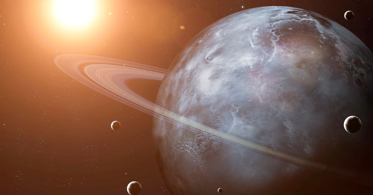
Mysterious Dust Ring Around Uranus Rediscovered

Nearly 40 years after NASA launched Voyager 2 to explore interstellar space, astronomers have made a startling discovery hidden in decades-old data.

When Voyager 2 launched on August 20th 1977, it made history as the first – and currently only – spacecraft to visit Uranus. On this historic mission, the spacecraft discovered 10 orbiting moons and two rings around the ice giant. One of the rings, dubbed Zeta, has been shrouded in mystery ever since – until now.

After its initial sighting, experts were unable to locate Zeta for almost 20 years. Experts even thought they’d “missed” Zeta because it was not visible in a single image.

Amateur image processor Ian Regan has shed new light on this illusive ring through rediscovered Voyager 2 data.

“He took hundreds of images, stacked them together, to produce this image of the Uranian system,” commented planetary scientist Matthew Hedman. “This is the most comprehensive view of the zeta ring that exists and we didn’t know it was in the Voyager data for decades.”

Thanks to this new information, researchers have been able to calculate Zeta’s distance from Uranus – around 37,000km – and to estimate its brightness.

“For a long time we thought we only had two images of this ring. This shows that there is a lot of information still encoded in the Voyager data that deserves a second look,” said Hedman.

This latest image of the Uranian system has raised some questions within the scientific community.

In 2007, Hawaii’s Keck Observatory gathered the first observations of Uranus’ rings since Voyager. Their findings showed Zeta 40,000km above Uranus, 20,000km further than Voyager 2 had imaged.

 “The trick is that the location of this ring didn’t match the Voyager images. Something has changed about this ring over the course of 20 years. We’re still not sure what it is,” Hedman explained.

Alongside this, experts in the Keck observatory detected that Zeta had become much brighter since its last sighting, meaning dust had been introduced into the system. One potential explanation could be a space rock colliding with Uranus, creating dust and debris that then settled in the zeta ring. Another theory holds changing seasons in space responsible, however these ideas are both unconfirmed.

“It got significantly brighter, which means dust got introduced to the system sometime in those 20 years,” Hedman said. “Now, what did that? We have no idea.”

As further questions are raised around the icy planet and its rings, experts are making plans to find answers. There’s even talk of a large-scale NASA mission on the horizon to explore the Uranus system.

For now, the James Webb Space Telescope is keeping an eye on Uranus, collecting further data and images of the planet’s rings. In September 2022, the clever space telescope captured some of the clearest images of Uranus’s rings we’ve ever seen – this is the first time we’ve seen the rings in infrared.

Sparked by Voyager’s historic mission into interstellar space, it seems we still have a lot to learn about the other planets in our solar system. As experts learn from this exciting discovery and plan future missions, we can’t wait to see what they’ll find next.

China Adds to Growing Environmental Monitoring Constellation

China has launched a new Synthetic Aperture Radar (SAR) satellite for environmental monitoring.

Huanjing-2E took flight earlier this month on a Long March 2C rocket from the Taiyuan Satellite Launch Center in northern China.

The SAR satellite’s 5-meter resolution S-band radar image data will support “disaster prevention, reduction, relief, and environmental protection,” as well as “serve natural resources, water conservancy, agriculture, forestry, earthquakes, and other fields,” according to the China National Space Administration (CNSA).

Huanjing-2E’s launch follows that of Huanjing-2A and 2B in 2020. This is the latest addition to a fast-growing series of environmental monitoring systems, all deployed and operated by China.

China is making huge advances in space-based Earth monitoring, using commercial constellations to gather data about environmental change more efficiently than ever.

Because they collect data at different wavelengths, SAR satellites can obtain many types of information such as water and moisture content, surface makeup, the impact of natural or man-made disasters and changes in habitat. They have day, night and all-weather capabilities, which means they don’t require sunlight to function and are not affected by atmospheric conditions. They can also “see” through things like vegetation, snow, sand and smoke. The ability to repeatedly scan the same area regardless of weather conditions makes SAR a great tool for measuring changes in Earth’s landscapes and environment.

These capabilities provide enormous value for industries like geospatial intelligence that rely on environmental data and imaging to document and assess human activity on Earth. This kind of cutting-edge space technology also plays a huge role in agriculture, reforestation, flood management, snow and ice monitoring, wildfires, and so much more.

On their mission to help Earth from space, China also recently added to their Haiyang (meaning “ocean” in Chinese) satellite constellation. These satellites use microwave sensors to monitor the marine environment, measuring sea surface height, temperature and wind field. Since the first launch in 2002, China has added eight satellites to the constellation, with 10 more on the way.

It’s safe to say that China has solidified itself as a big player in space. Following their first satellite launch in 1970, the country’s launch capabilities boomed in the 2010s and are continuing to grow today. Today, China has full-cycle capability, meaning their satellites can be manufactured locally, then launched on Chinese rockets from Chinese launch sites. While most reports assign 499 of the 4,852 active satellites orbiting Earth to China, more recent reports estimate the number to be around 562. This makes them the world’s second largest commercial satellite owner, beaten only by the US with a monopoly of 61%.

With the climate crisis raging on and natural disasters increasing in frequency, it’s great to see more focus directed towards using space for good. If the sector continues to drive innovation through these next-generation space technologies, we can monitor and assess all kinds of damage to our planet, working together to minimise harm as far as possible.

Black History Month – Celebrating Black Space History

While we often celebrate the first to do something, the seconds, thirds and fourths are sometimes overlooked. This Black History Month, we’re celebrating the inspiration people who came after the equally impressive firsts, following the trail they blazed and making Black history just the same.

In 1992, NASA astronaut Mae Jemison set a new standard for the space sector as the first Black woman to fly to space. Jemison defied outdated mindsets and opened the doors to space for an entire generation – but who came next?

In just under 30 years since Jemison travelled to space, only four other Black women have followed in her footprints – Stephanie Wilson, Joan Higginbotham, Sian Proctor and Jessica Watkins.

Stephanie Wilson – Image by NASA

In 1996, Stephanie Wilson marked her place as the second Black woman in space. Today, she is NASA’s most senior most flown-in-space African American female astronaut, having flown on three Space Shuttle missions to the International Space Station (ISS) and spent 42 days in orbit. She is now one of the 18 crew members on NASA’s Artemis mission, in which a person of colour will land on the moon for the first time. With a diverse range of backgrounds and experience, NASA hopes the Artemis team will inspire diversity and inclusion in the future of space.

“The Artemis Team astronauts are the future of American space exploration – and that future is bright,” commented a senior US government official.

Arnaldo Tamayo Méndez – Image by ACN Archivo

The topic of the first Black man in space is a controversial one. While many people believe it was Guion Bluford in 1983, this isn’t the case. Bluford was the first African American man to fly to space, but Cuban astronaut Arnaldo Méndez flew into orbit aboard a Soviet Soyuz in 1980. This makes him the first Black, Latin American and Cuban man to travel to space. Throughout humble beginnings as an orphan in poverty, working as a shoeshine, carpenter’s assistant and vegetable seller, Méndez always had big dreams of going to space.

“I had dreamed of flying since I was a child… but before the revolution, all paths into the sky were barred because I was a boy who came from a poor black family. I had no chance of getting an education.”

Despite the many challenges he faced, Méndez and his crewmate Yuriy Romanenko spent seven days in space and completed 124 orbits around the Earth. Upon his return, Méndez received the Hero of the Republic of Cuba award and the Order of Lenin from the Soviets for his historic achievements. His incredible story led him on to become the director of international affairs in the Cuban armed forces.

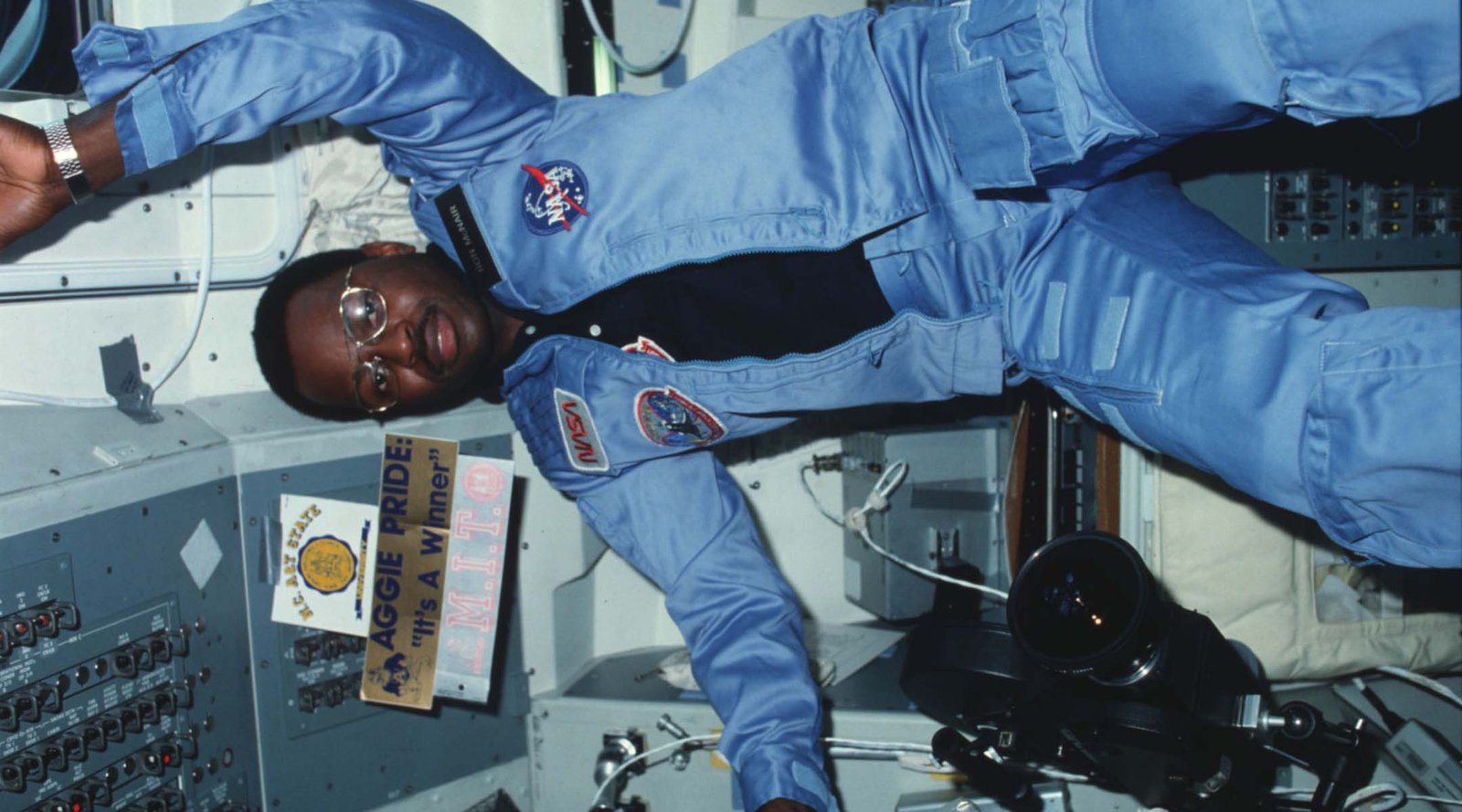
Ronald McNair – Image by The U.S. National Archives

American physicist Ronald McNair became the third Black man to fly in space in 1984. After being selected by NASA as a mission specialist astronaut in 1978, his first spaceflight was on the STS-41B Space Shuttle Challenger mission. On that mission, McNair operated the robotic machinery that allowed an astronaut to perform a spacewalk without being tethered to a spacecraft for the first time ever. This technique was used on future shuttle missions to assemble the ISS and repair vital satellites. In 1968, Ronald was selected to fly on the 25th Space Shuttle mission and the 10th launch of the Space Shuttle Challenger. Tragically, he died during launch in a fatal accident now known as the Space Shuttle Challenger disaster. The shuttle exploded 73 seconds into its flight, killing all seven astronauts on board. This Black History Month, we’re celebrating Ronald McNair’s life and achievements as a true trailblazer and Black space icon.

Jessica Watkins – Image by NASA/Frank Michaux

In April 2022, American engineer and NASA astronaut Jessica Watkins made history as the first Black woman to live and work aboard the ISS for an extended mission. On her ground-breaking mission, Watkins has been studying Earth, space and biological science, as well as the impact of prolonged spaceflight on humans. She has also been monitoring and photographing geological changes on Earth. Jessica’s love for space stems back to childhood when her passion was ignited by an enrichment program at her elementary school. From that point on, she knew she wanted to study the geology of planets.

“I think it’s important to recognize this as a milestone for our agency and for our country, as well, to know that we are building on the foundation that was laid by the Black woman astronauts who’ve come before me,” she commented. “I’m definitely honored to be a small part of that legacy, but ultimately be an equal member of the crew.”

Of the circa 250 people to board the ISS, less than 10 have been Black. Watkins’ space mission is a huge part of Black history that deserves recognition and celebration.

Representation is a crucial part of any industry, especially within STEM fields. The US STEM sector is only 9% Black as of 2022, with Black individuals earning an average of $58,000 in comparison to $71,900 for white individuals. These are shocking demographics within a sector that represents progression and inclusion.

The list of emblematic Black people the space sector is a long one. These individuals forged, and are continuing to forge, a path for a more inclusive industry through representation and inspiration. Space really is for everyone, and the sector needs people from all walks of life in order to progress and develop. Through further representation and celebration of those who came before, we can nurture an industry that will thrive alongside humanity into the future.