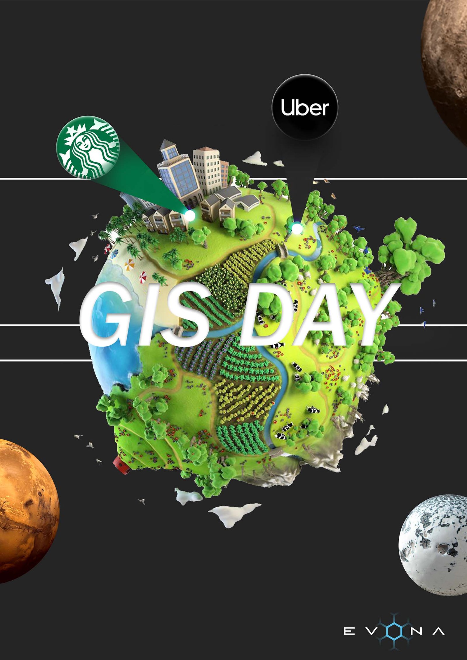

GIS DAY, 17TH NOVEMBER 2021
Here at EVONA, we are celebrating GIS day and the power that it gives us to create an understanding of the world we live in. GIS day is more than just an event, it’s a global movement that showcases the importance of GIS and the many benefits it has to offer.
SO, WHAT IS GIS?
Geographic Information Systems (GIS), is a spatial system that creates, manages, analyses, and maps all types of important data, which is utilised in science, organisations of all sizes and almost every single industry. GIS helps users to interpret relationships, patterns, and geographic context which provides a multitude of benefits such as improved decision making, enhanced efficiency, cost reduction and improved communication (to name a few!).
“GIS is an integrated system of computer hardware, software, and trained personnel linking topographic, demographic, utility, facility, image and other resource data that is geographically referenced.” ~ NASA
THE MAIN USES AND BENEFITS OF GIS
- Identifying problems.
- Monitoring change and understanding trends, therefore allowing users to put preventative measures in place.
- Fast recall of data, with ability for complex analysis.
- Managing and responding to events efficiently, with improved productivity.
- Perform forecasting, whilst displaying information in a different light or view.
- Allows for better management of resources.
- Better ability to consider environmental and social impact.
- For businesses – improved client satisfaction, better decision making and increased teamwork amongst employees.
JUST A FEW OF THE WELL-KNOWN COMPANIES WHICH USE GIS EVERY SINGLE DAY
UBER – is an app which we all know completely changed the world. It’s takeover of the taxi industry coined the term ‘the Uber effect’, which would not have been possible if it hadn’t been for GIS. It heavily relies on geospatial data, when the app matches its user with the closest available driver. However, in a not so obvious way, the app also can identify areas which have the highest demand for drivers and advises those drivers to be near those hotspots during times of elevated demand. It’s also cleverly used to monitor and analyse traffic flow in cities.
Starbucks – this household name relies largely on data to guide its strategies for growth, using GIS to determine the best places for new locations. It analyses lots of factors before deciding to branch out into an area, including:
- Population density.
- Average income.
- Traffic patterns.
- Proximity to public transportation.
- Other nearby businesses.
The World Health Organisation – GIS enables spatial representation of data to support improved public health planning and contributes towards better decision making. The global health and medical applications of GIS are numerous, but here are just a few of the main examples:
- Finding disease clusters and their possible causes.
- Improving deployment for emergency services.
- Determining if an area is being served adequately by health services.
HOW GIS IS CHANGING THE WORLD

Disease Control – Combating the spread of pests, by identifying critical intervention areas efficiently.
Mars Rover Landing – Examining how to land the Mars Rover safely with operations criteria including latitude for solar power, soil softness, slopes using laser altimetry, dustiness, rockiness, and a landing footprint.
Development Planning – Making citizens happy through smart development planning and understanding the bigger picture.
Self-Driving Vehicles – Sitting back and relaxing while Google’s autonomous car does all the work equipped with LiDAR, GPS, an inertial unit, and sophisticated software.
Mapping – Google Maps is an excellent example of a web-based GIS mapping solution that people use for everyday navigation purposes.
Environmental Impact Analysis – Data gathered via GIS applications is vital for conserving natural resources and protecting the environment. Impact statements assess the magnitude of human impact on the environment.
REASONS TO PERSUE A GIS CAREER
Now that you’ve seen the benefits GIS has to offer, perhaps you’re interested in pursuing a career within GIS. It is a powerful, ever-evolving field with possibilities that increase as the world becomes more connected. The GIS market is projected to reach $25.6 billion by 2030, and competitive salaries aside, a career within GIS can give you the chance to truly make a difference. If that wasn’t enough, there really is something for everyone as some of the unique applications of GIS technology can be utilised in a wide range of industries:
- Gaming.
- Transportation.
- Public health.
- Agriculture.
- Advertising.
- Retail.
- Environmental services.
- And many more!